Landscape and visual
Water Eaton is located in agricultural land bordering open countryside to the east.
It is served by a network of Public Rights of Way connecting to the wider countryside. Cutteslowe Park is the largest park in Oxford and has a strong visual connection with the site. There are opportunities to create a high-quality landscape setting for the development that responds positively to the local context.
Opportunities
- Extensive planting within the proposed scheme would provide visual screening to integrate the built form into the local landscape
- Creation of an extensive landscape buffer along the site’s eastern edge, providing a soft transition to the open countryside to the east
- Creation of access routes through the site along green infrastructure links accommodating existing footpaths. These links used to enhance visual connections to the wider countryside
- Existing characteristic landscape features embedded into the layout
- Oxford Road frontage enhanced with tree planting to create an attractive green corridor along the site’s western boundary.
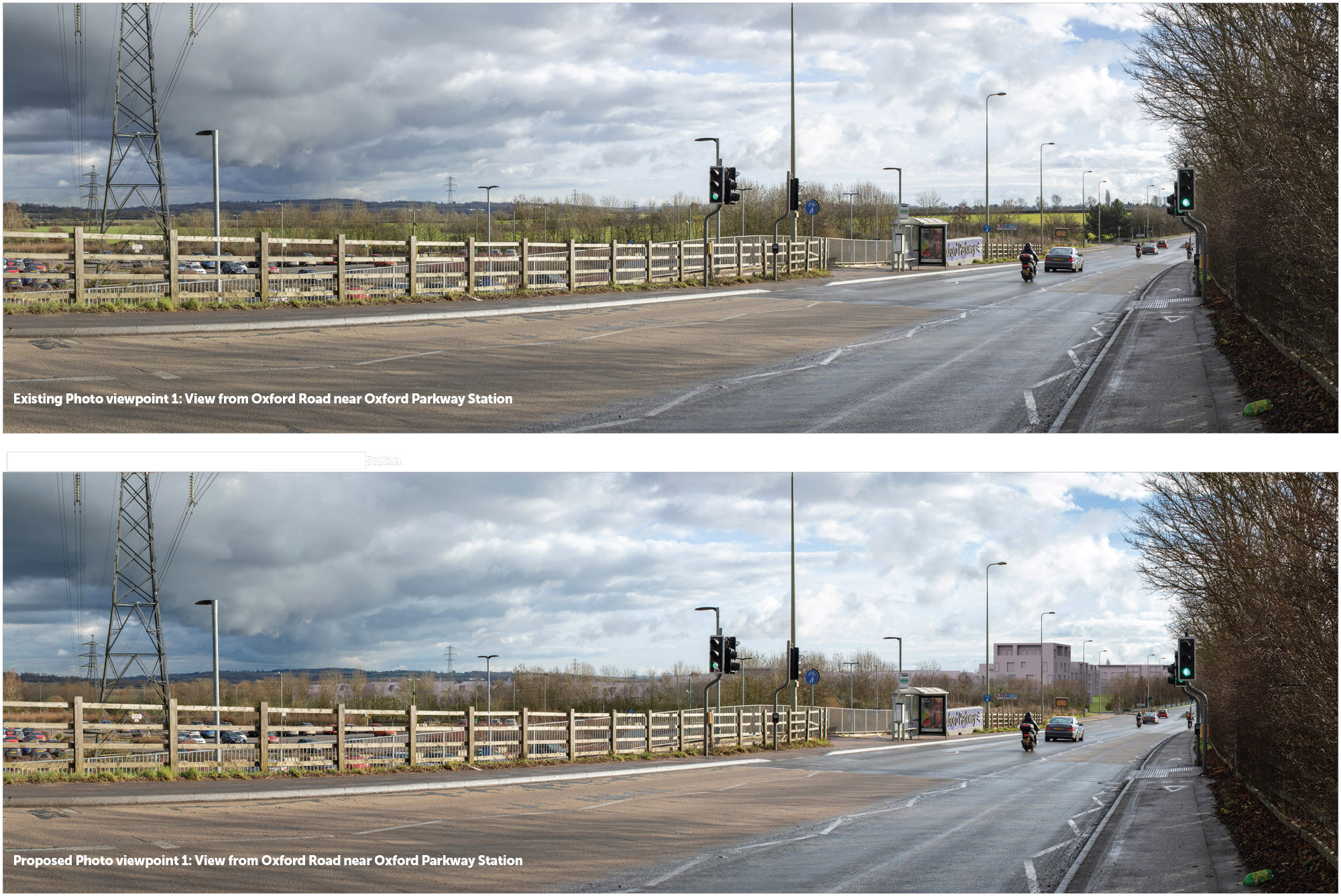
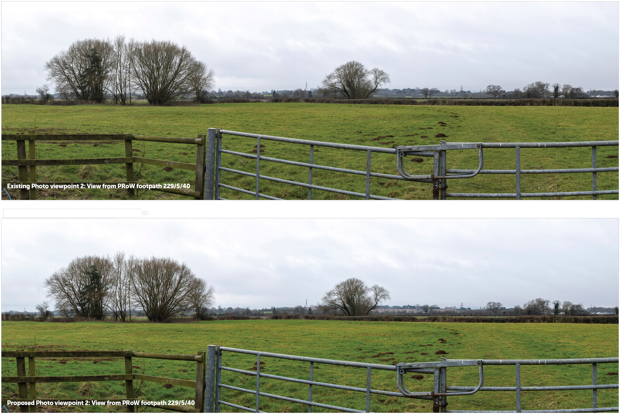
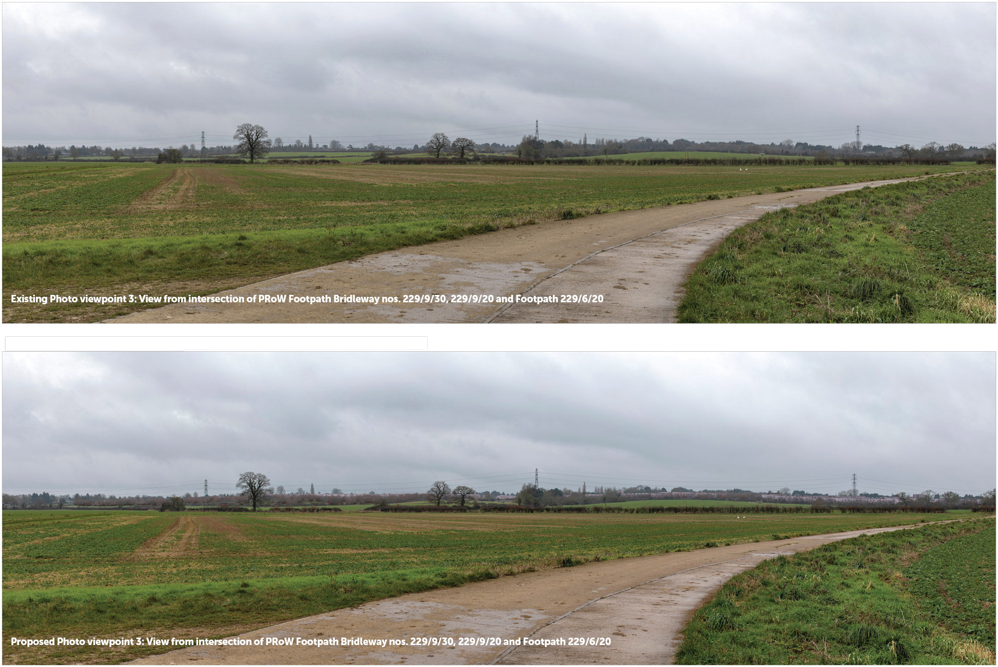
Visual Analysis
Visual analysis has informed the proposed building heights and their locations in the site. Built form would be noticeable in views along Oxford Road and in views to and from the wider countryside in the east. The landscape strategy incorporates extensive planting to create new high-quality open spaces, enhance the proposed streetscape and filter views of the scheme so that it integrates into the local context. Three key views have been selected to show the scheme along Oxford Road and from the wider countryside to the east. These show the following:
- The proposed Oxford Road frontage, with a welltreed and enhanced pedestrian and cycle route; and
- Two examples of the proposed landscape buffer on the eastern boundary which filters views of the development and ensures a soft transition towards the wider landscape.
Our proposals sections
- Introduction
- Our proposals
- The development
- The scheme parameters
- Masterplan
- Character and placemaking
- Responsible ownership & stewardship
- A sustainable development
- Transport
- Sustainable transport improvements
- Green infrastructure
- Site heritage
- Ground conditions and utilities
- Ecology and biodiversity
- Landscape and visual
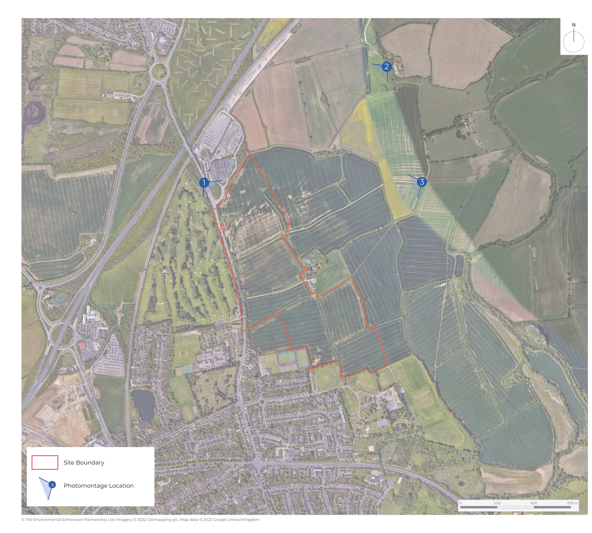
Photomontages for Public Consultation Location Plan
Click image to enlarge Pinch image to enlarge